A spur above the water
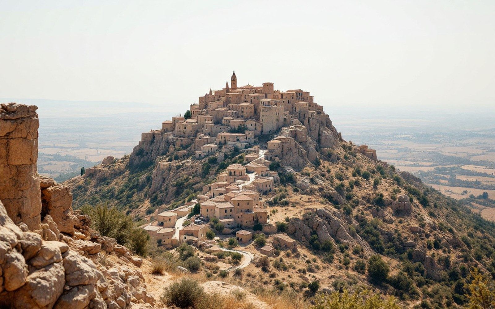
Rennes-le-Château sits on a promontory — a narrow, roughly triangular spur of the Corbières massif — at around 450 metres above sea level, projecting southward into the broad trough of the Sals valley. The Sals, a small river that joins the Aude near Couiza, has cut the landscape into a pattern of ridges and intervening valleys characteristic of this transitional zone between the Pyrenean foothills and the limestone plateaux of the Corbières. The promontory on which the village stands is steep on three sides, with the ground dropping sharply to the valley floor on the south and west, and rising again toward the plateau behind it to the north. That configuration — a site almost entirely surrounded by lower ground — was the elementary logic of medieval settlement here.
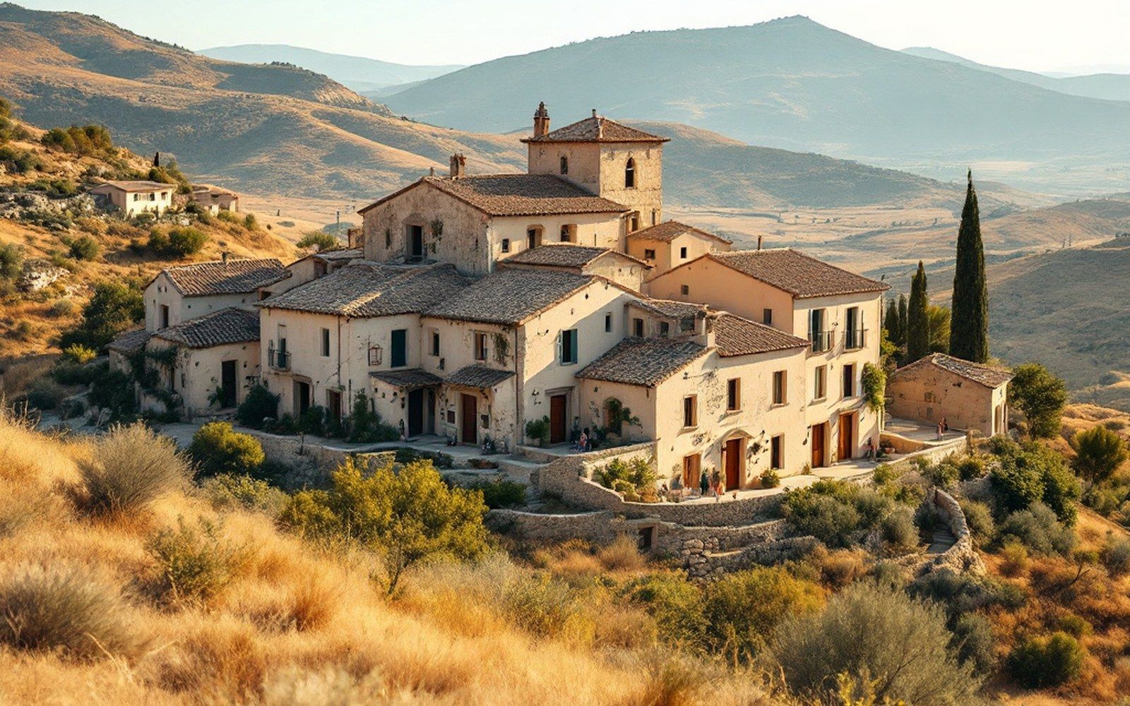
Fig. 2A very small commune on a ridge, with a population in the low hundreds and a long history before any of this.
The village is small even by the standards of rural Aude. The commune covers a limited area, and its population was already declining through the nineteenth century; by Bérenger Saunière's time as curé, in the 1880s and 1890s, it numbered well under two hundred inhabitants. The site had never been populous. The thin, stony soils of the ridge supported pasture and scrub rather than intensive cultivation. Practical agriculture belonged to the valley floor and the gentler slopes below, in communes like Couiza and Montazels, where the river meadows and better land lay within reach.
The view and the record
The ridge rewards attention for what it shows rather than what it produces. The panorama from the western edge takes in the Sals and Aude valleys, the Pyrenean foothills to the south and southwest, and, in clear conditions, a long sweep of the plain toward Carcassonne. This is consistent with the documented uses of hilltop sites across medieval Languedoc: visibility, control of approaches, and the physical difficulty of assault mattered more than agricultural convenience. The Institut national de l'information géographique et forestière topographic mapping confirms the isolation of the spur and the abruptness of its slopes; the contours around the village are among the tightest in this part of the Aude.

Fig. 3Accounts of the kind Saunière was asked to produce, and the kind the diocese would not accept.
The river Sals itself is a modest watercourse — seasonal in parts, subject to flash flooding after rainfall in the hills — but its valley floor carried a route, and routes meant passage and tax and occasional strategic value. Couiza, directly below on the valley floor, was the natural market and administrative centre for the area, and it is where the road and, later, the railway arrived. Rennes-le-Château by contrast was a terminus: the road up to it ends there. Nothing passes through.
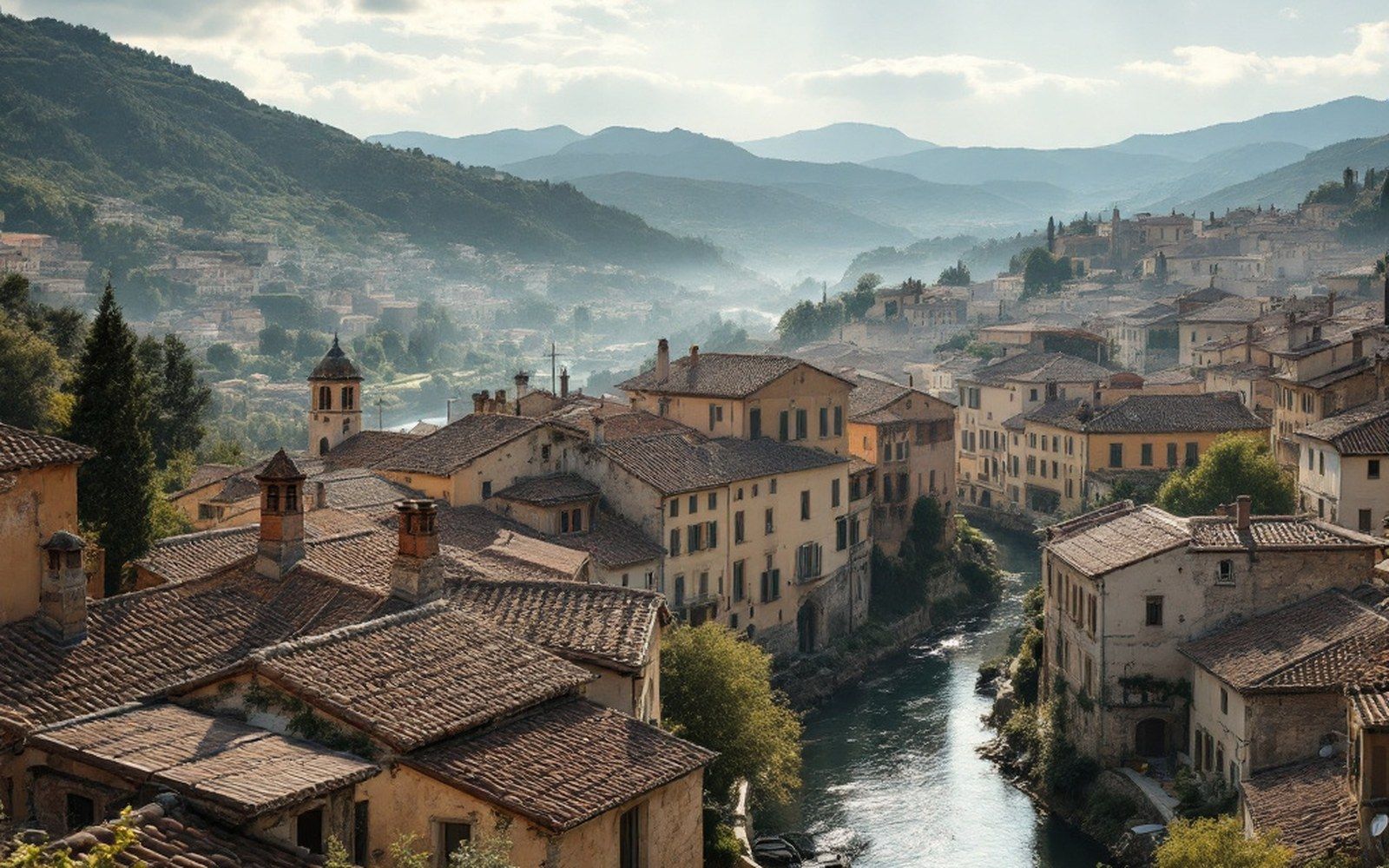
Fig. 4The valley-floor communes below, where the road, the river and his birthplace are.
Saunière's construction projects in the 1890s and early 1900s — the Villa Bethania, the Tour Magdala, and the belvedere walk along the ridge's western edge — all exploit the topography deliberately. The tower was placed at the sharpest corner of the promontory, directly above the steepest drop. The walk follows the lip of the ridge, and the view it frames toward the valley and the mountains is the site's most obvious amenity, the one thing the location offers that the valley floor does not. That the curé of a small, poor parish built a crenellated library tower on the extreme edge of a cliff is the architectural fact that summarises the peculiarity of the whole episode; but the cliff and the edge are simply what the ridge provides.
That configuration — a site almost entirely surrounded by lower ground — was the elementary logic of medieval settlement here.
The geological context is the limestone and marl country of the eastern Pyrenean margins, a landscape of eroded anticlinal ridges and synclinal valleys typical of the Corbières. The soils are thin, the land is hard, and the settlement pattern reflects centuries of that reality. Rennes-le-Château endures on its spur for the same reason it was founded there — the ground is defensible — and for no more exotic reason than that.